Acerca del libro
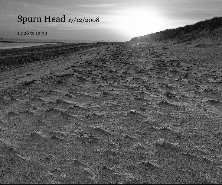
Photos taken on a brief visit to the narrow spit of land, Spurn Head..
17-12-2008 14:26 to 15:39
from Wikipedia:
Spurn Point (or Spurn Head as it is also known) is a narrow sand spit on the tip of the coast of the East Riding of Yorkshire, England that reaches into the North Sea and forms the north bank of the mouth of the Humber estuary. It is over 3 miles (4.8 km) long, almost half the width of the estuary at that point, and as little as 50 yards (46 m) wide in places. The southernmost tip is known as Spurn Head or Spurn Point and is the home to an RNLI lifeboat station and disused lighthouse. It forms part of the civil parish of Easington.
Características y detalles
- Categoría principal: Viajes
-
Características: Apaisado estándar, 25×20 cm
N.º de páginas: 20 - Fecha de publicación: dic. 25, 2008
Ver más