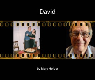
Mary Holder
San Francisco, CA
Acerca de
I am a photographer and photo restoration artist. I feel that long-term storage of photos is best implemented on paper and Blurb books of old photos are the best way to preserve our photographic heritage.
Consigue acceso a ofertas exclusivas por email uniéndote a la comunidad creativa de Blurb.
Al continuar, aceptas los Términos y condiciones y la Política de privacidad.